Geoos
Our organization spatial-go is officially established! The first open source project Geoos(Using Golang) provides spatial data and geometric algorithms. All comments and suggestions are welcome!
Guides
Contents
Structure
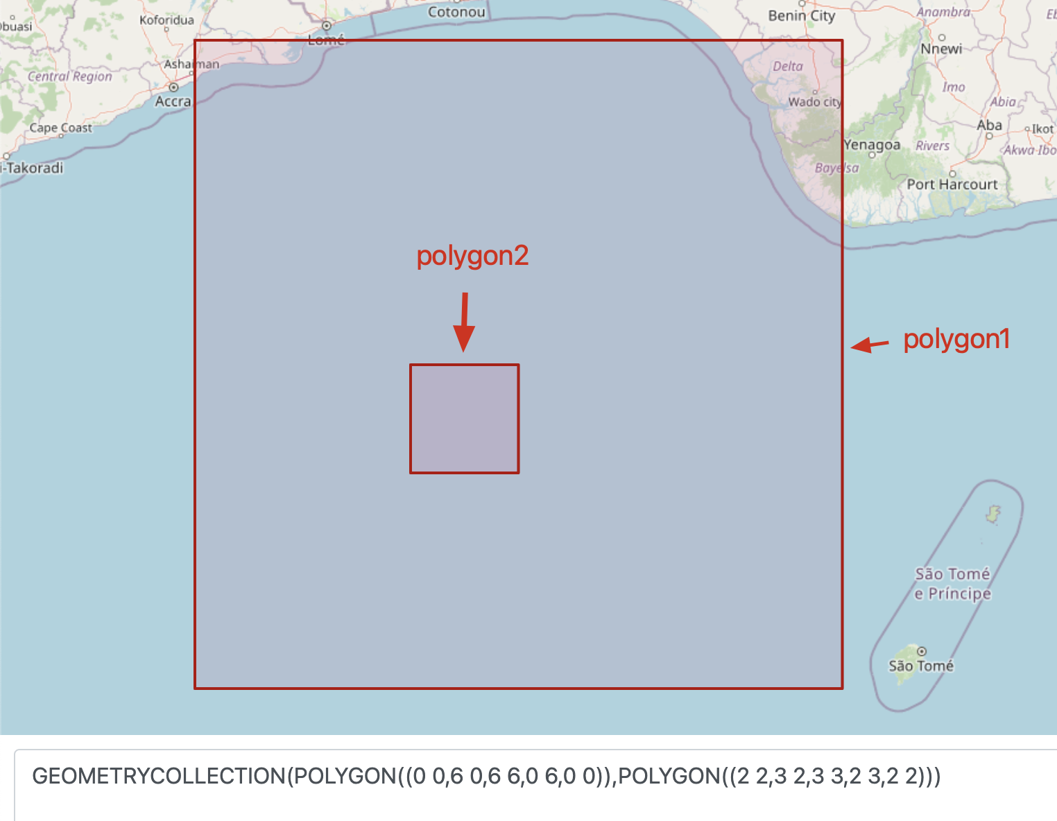
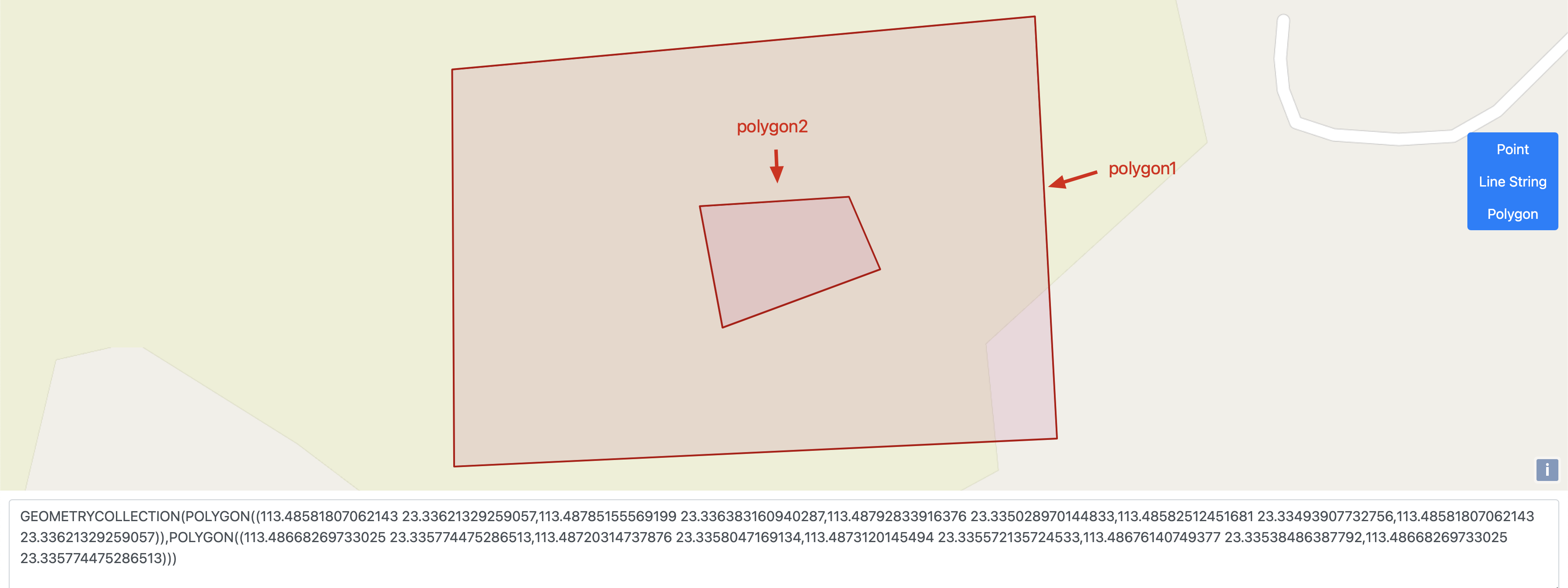
Algorithmis the definition of spatial operation, which is outside exposing.strategy.godefines the implementation of the spatial computing based algorithm.
Documentation
How to use Geoos: Example: Calculating area via Geoos
package main

import (
  "encoding/json"
  "fmt"
  "github.com/spatial-go/geoos"
  "github.com/spatial-go/geoos/encoding/wkt"
  "github.com/spatial-go/geoos/geojson"
  "github.com/spatial-go/geoos/planar"
)

func main() {
  // First, choose the default algorithm.
  strategy := planar.NormalStrategy()
  // Secondly, manufacturing test data and convert it to geometry
  const polygon = `POLYGON((-1 -1, 1 -1, 1 1, -1 1, -1 -1))`
  geometry, _ := wkt.UnmarshalString(polygon)
  // Last, call the Area () method and get result.
  area, e := strategy.Area(geometry)
  if e != nil {
    fmt.Printf(e.Error())
  }
  fmt.Printf("%f", area)
  // get result 4.0

  rawJSON := []byte(`
  { "type": "FeatureCollection",
  "features": [
    { "type": "Feature",
    "geometry": {"type": "Point", "coordinates": [102.0, 0.5]},
    "properties": {"prop0": "value0"}
    }
  ]
  }`)

  fc := geojson.NewFeatureCollection()
  _ = json.Unmarshal(rawJSON, &fc)
  println("%p", fc)

  // Geometry will be unmarshalled into the correct geo.Geometry type.
  point := fc.Features[0].Geometry.(geoos.Point)
  println("%p", &point)

}
Maintainer
Contributing
We will also uphold the concept of "openness, co-creation, and win-win" to contribute in the field of space computing.
Welcome to join us !please report an issue
Email Address: [email protected]
License
Geoos is licensed under the: LGPL-2.1